Manston, Hawkinge airfields and Cap Griz Nes
All three of these locations i have made as painstakingly close to their historical counterparts as i could with a lot of my own research and help from some of the BDG (Bob Development Group) guys and their years of research as well as input from simhq members.
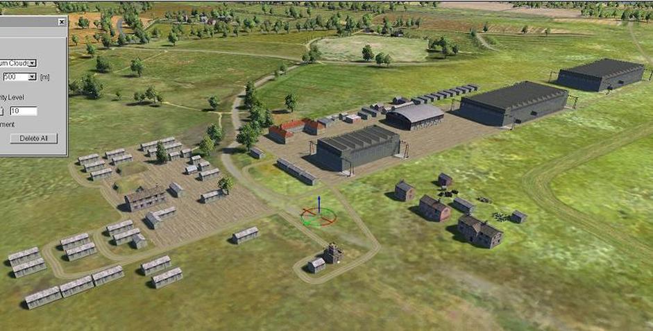
Manston airfield version 1. Showing the Eastern side of the field. The biggest issue with getting these fields to look correct from the air imo was the placing all of the various side roads and aircraft taxi strips. Download link at bottom of page.
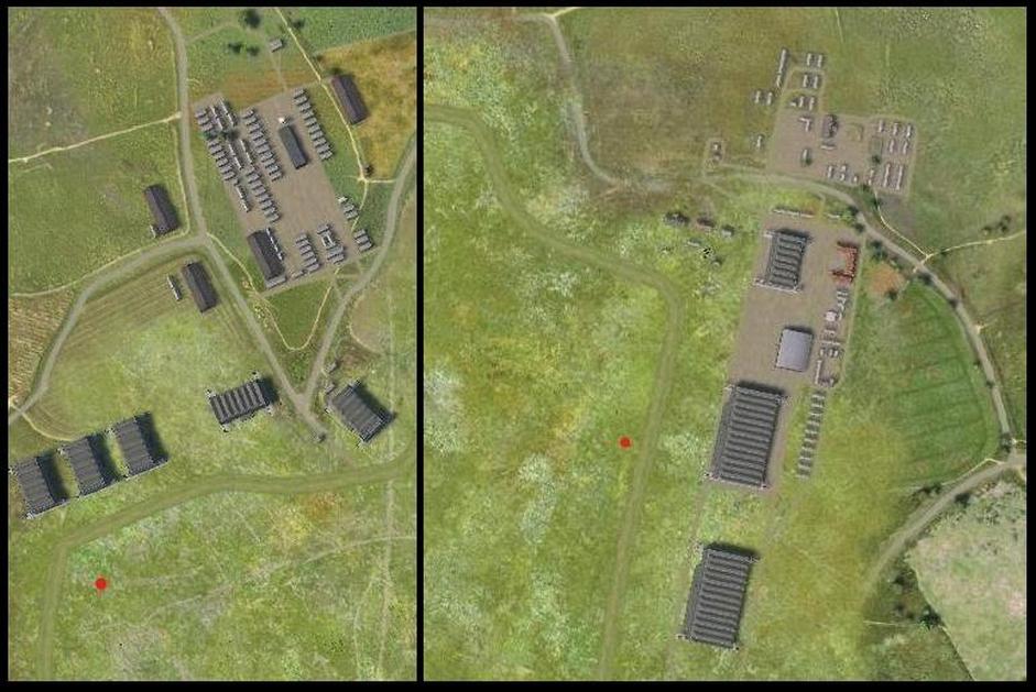
Aerial shot showing the Western and Eastern side of Manston field. Red dots are Bofors AA emplacements.
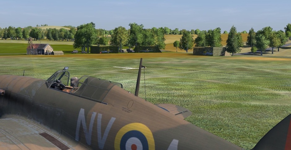
Hawkinge airfield version 1.
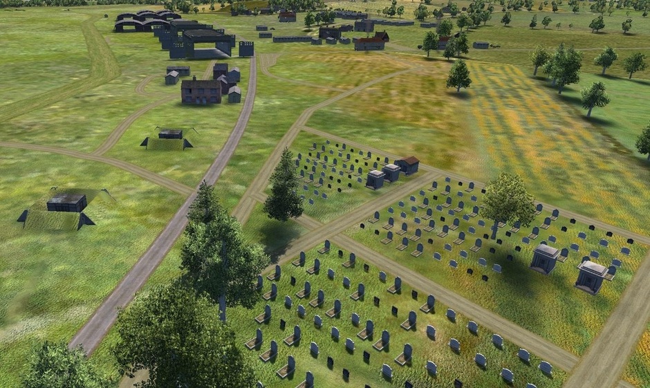
Hawkinge showing the graveyard
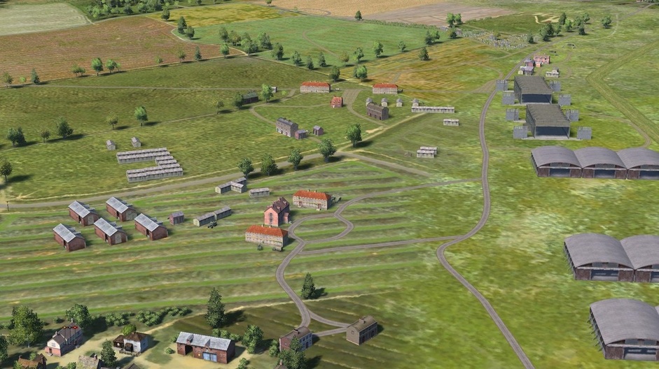
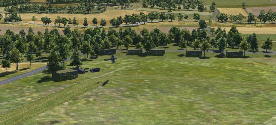
Aerial shot of Hawkinge.
Included in the download is Wissant and St Audembert airfields , sorry, forgot to take any pics :)
UPDATE : The below area i have added to the map template i just have not uploaded the new file yet, as soon as i upload , i will update the link.
DOWNLOAD HERE
Included in the download is Wissant and St Audembert airfields , sorry, forgot to take any pics :)
UPDATE : The below area i have added to the map template i just have not uploaded the new file yet, as soon as i upload , i will update the link.
DOWNLOAD HERE
The Cap Gris Nez area.
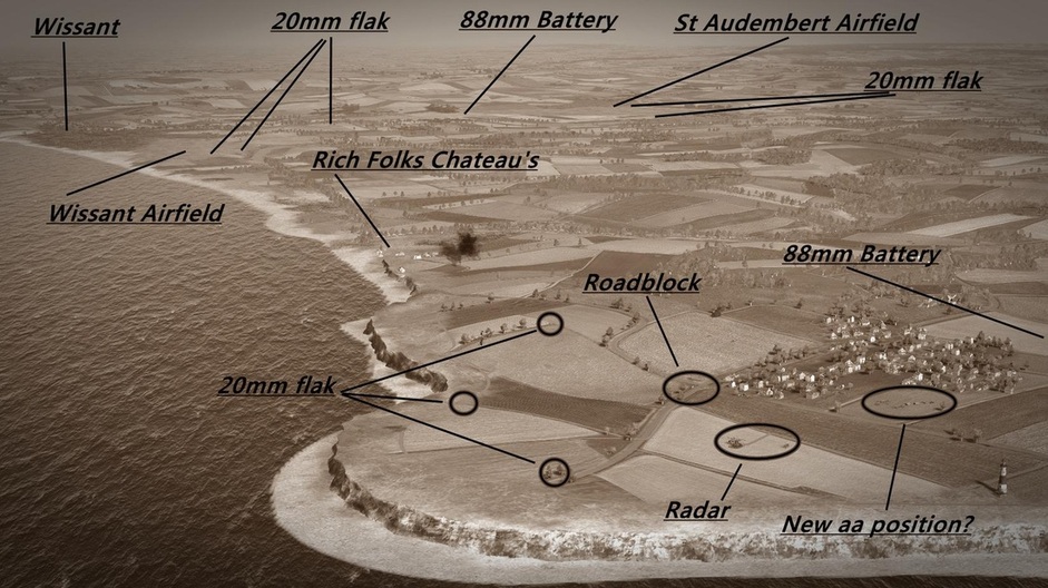
The Cap Gris Nez to Wissant, St Audembert area
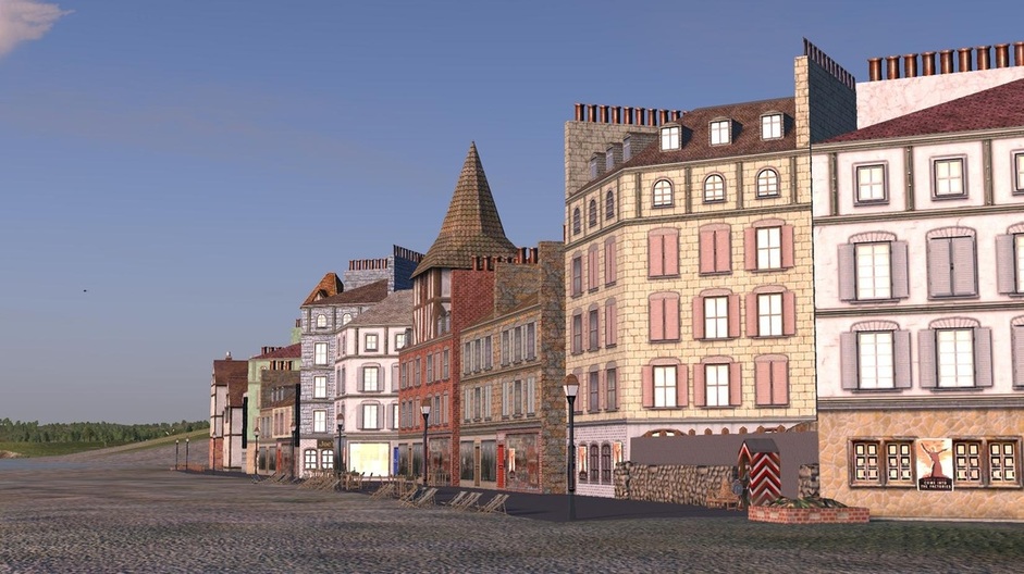
Wissant
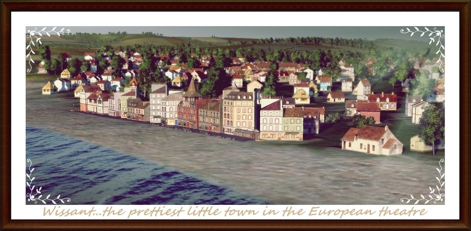
Wissant village located just East of the small airfield.
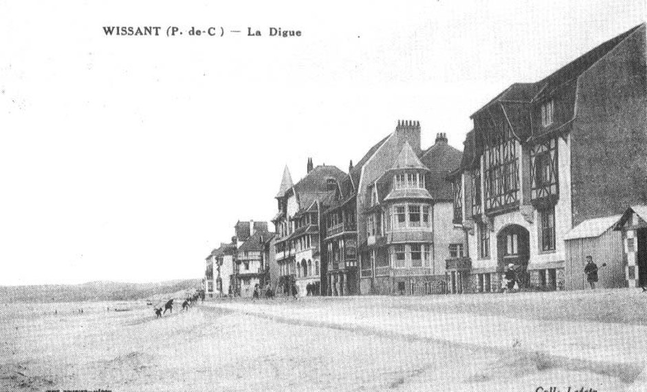
Actual Wissant waterfront
Wissant waterfront in game
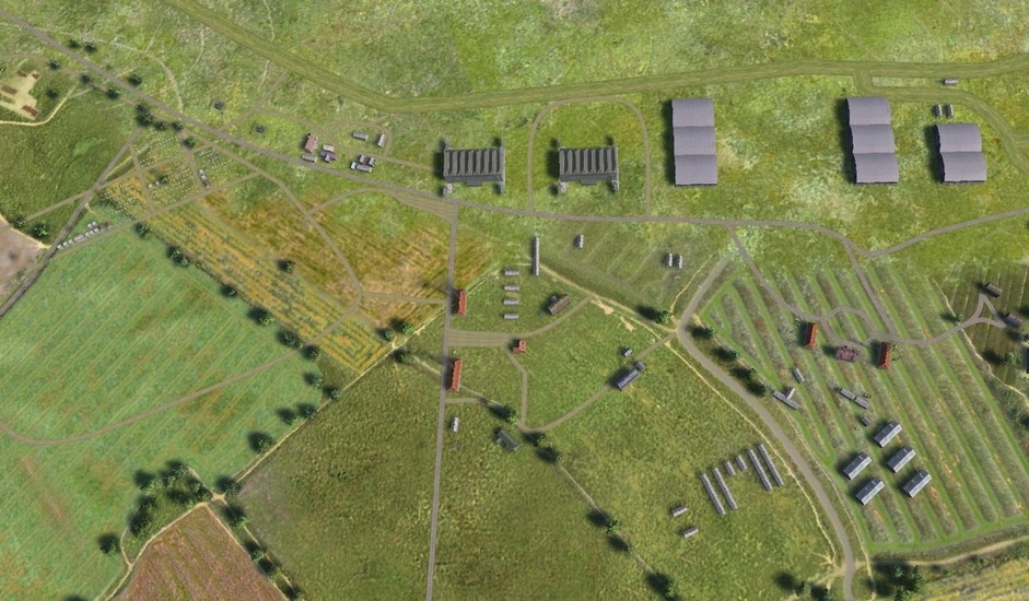
Wissant airfield, basically a bunch of camo netting , no hangars or hardstandings. There is still debate if there was even any sort of airfield at Wissant other than a decent flat area where emergency landings may have happened.
St Audembert , much the same deal , camo netting under some trees in the corner of the field.
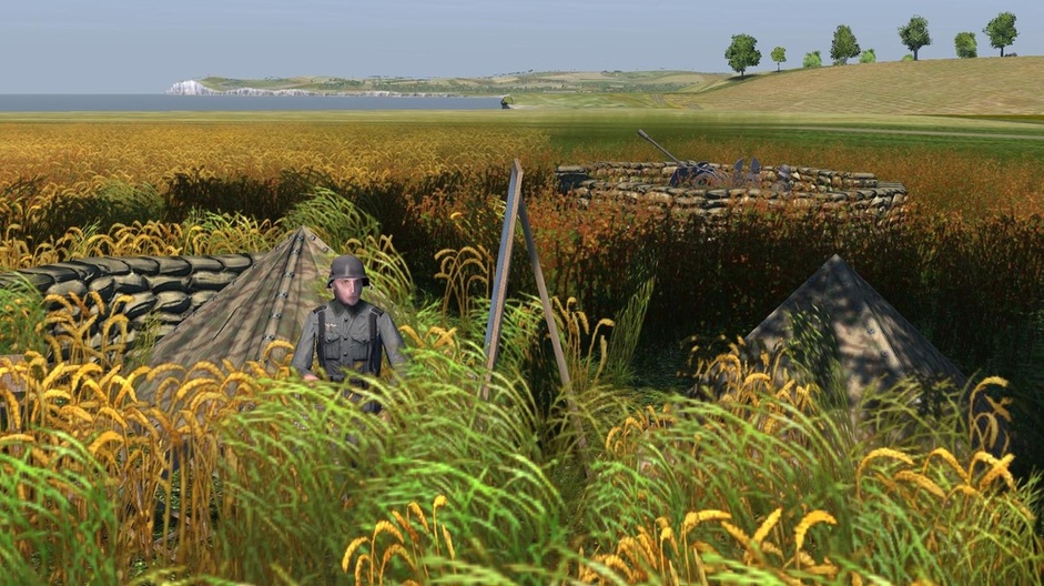
20 mm aa position at Cap Gris Nez
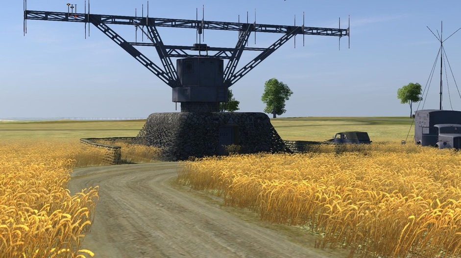
Radar installation located at Cap Griz Nez
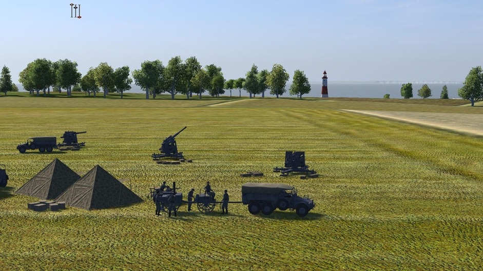
88 mm Battery just inland at Cap Gris Nez , you can see the Lighthouse in the background
German engineers constructing a roadblock at Cap Gris Nez
